
Functional urban areas (FUA) comprise cities and their commuting zones. Therefore, functional urban areas consist of a densely inhabited city (a core area) and a less densely populated commuting zone whose labor market is highly integrated with the city.
Cities are defined here as local administrative units (in Poland – gminas) classified as cities (densely populated areas) in the degree of urbanisation (DEGURBA). Groups of neighboring cities can be defined as one city (so-called a greater city). Commuting zones are defined as local administrative units from which at least 15% of the employed population commutes to the city, while enclaves are included in and exclaves are excluded from a commuting zone. If a local administrative unit has a commuting flow of more than 15% of its employed residents to more than one city, then such unit is assigned as a part of the commuting zone of that city for which it has the largest commuting flow. Functional urban areas may extend beyond the boundaries of first-level administrative units as well as the state boundary.
Functional urban areas are being updated after obtaining new data on commuting shares or on population density in the 1 km2 grid, as well as in the case of changes in LAU boundaries.
The current degree of urbanization for the area of Poland was determined on the basis of data from the 2021 census. On this basis, 55 functional urban areas were designated, 4 of which consist of more than one city according to DEGURBA (compared to the functional urban areas designated on the basis of data from the 2011 census, 7 areas were deleted and 4 new ones were created by dividing previously existing areas).
The typology of functional urban areas dates back to the 1990s, when data for European cities with at least 100 000 inhabitants were collected through the Urban Audit and the Large City Audit projects. Their ultimate goal was to contribute towards improvements in the quality of urban life by: supporting the exchange of information and experiences between EU cities, helping to identify best practices, facilitating benchmarking across the EU, providing information on the dynamics within the cities and between cities and their surrounding areas. Within the Urban Audit, its units were previously referred to as follows: cities - 'core cities' (cities within their administrative boundaries), greater cities – 'kernels', and functional urban areas - 'larger urban zones' (LUZ).
In 2011, the European Commission and the OECD developed a harmonized definition of a city and its commuting zone, which has led to an increase in the number of cities studied.
Functional urban areas (FUA) are also used for determining metropolitan typology.
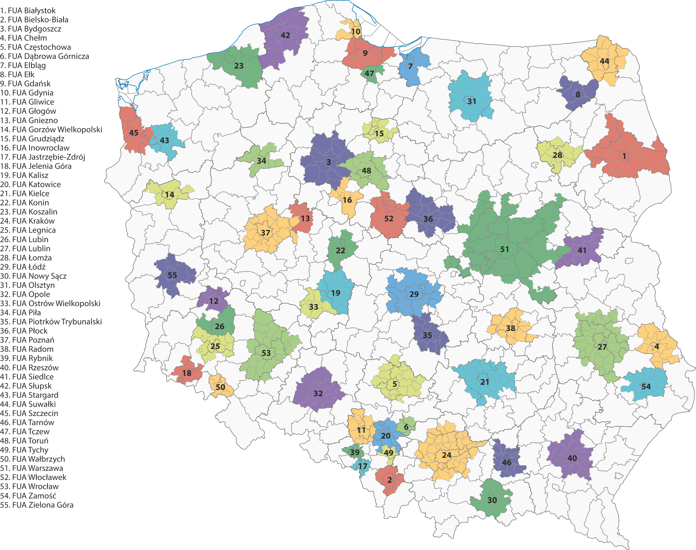
Functional urban areas (FUAs) in Poland in 2023