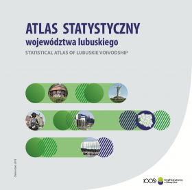
Statistical atlas of lubuskie voivodship
| Date of publication: | 08.08.2018 |
|
In 2018, 100 years have passed since the establishment of the Central Statistical Office. On this occasion, the Statistical Office in Zielona Góra prepared the “Statistical Atlas of Lubuskie Voivodship” presenting the spatial diversity of social and economic phenomena in the region. In the study, using choropleth maps and chart map as well as numerous charts, issues related to human capital, quality of life, economy and environment as well as selected data for regions (NUTS 2) of the European Union were presented. The illustrative nature of the publication enables observation of regional diversity, which is the most important challenge for the European Union's cohesion policy. The presented data relate to the year 2016 and in the area of regional accounts – 2015. In order to illustrate and analyse the changes taking place in Lubuskie Voivodship, selected issues have been included in the retrospection since 2000, the population projection until 2040 has been taken into account as well. In the case of the Zielona Góra urban gmina, which in 2015 was joined with the Zielona Góra rural gmina, the data for 2010 adopted for comparison has been calculated by the administrative division of the voivodship valid as of 31 XII 2016. The main source of data used in the publication are information resources of official statistics, and for the presentation of phenomena in comparisons of the EU regions – the Eurostat databases. Moreover, the data from the Head Office of Geodesy and Cartography, Ministry of Health, Ministry of the Interior and Administration, Agency for Restructuring and Modernization of Agriculture, Energy Regulatory Office, Police Headquarters, Central Examination Board, Ministry of National Education, Ministry of Finance, Ministry of Investment and Development, Ministry of Digitization, Ministry of Family, Labour and Social Policy, the General Directorate of Roads and Motorways and the Polish Geological Institute |
|


