Statistics Poland won the 3rd place at the International Map Exhibition in Tokyo
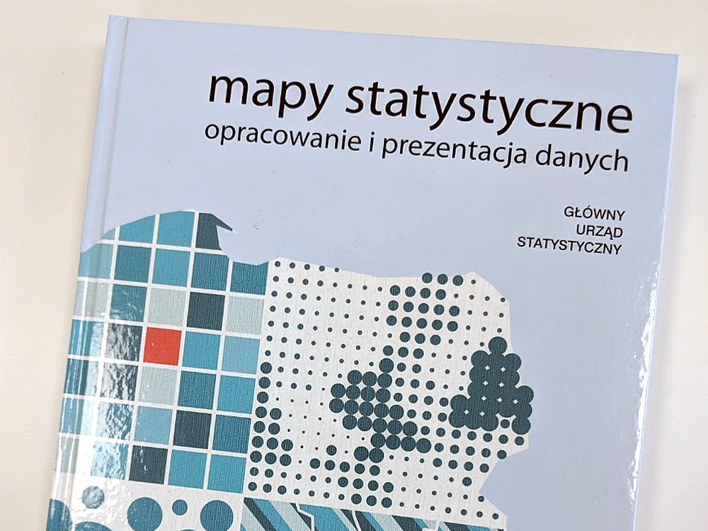
From 15 to 20 July this year in Tokyo, the International Cartographic Conference was held along with an exhibition where 30 countries presented 385 products issued from 2017. During the exhibition, a competition for the best publications/products took place. The competition jury, appointed by the authorities of the International Cartographic Association, awarded the Statistics Poland with the third prize in the educational category of cartographic products for the textbook entitled “Statistical maps. Data elaboration and presentation” (developed and released in 2017).
The International Map Exhibition was divided into 7 sections: maps (224 maps from 30 countries were presented), navigation maps (25 from 9 countries), atlases (41 from 20 countries), digital products (38 from 14 countries), digital services (5 from 4 countries), educational cartographic products (29 from 14 countries) and other cartographic products (23 from 13 countries).
Poland has presented 10 publications for the exhibition: 5 maps, 2 atlases, including the "Statistical Atlas of Poland" prepared and published by the Statistics Poland, and 3 educational cartographic products, including the "Statistical maps. Data elaboration and presentation” developed and published by the Statistics Poland.
The website of the International Cartographic Association (ICA) contains the full results of the competition for publications and cartographic products issued as part of the International Map Exhibition held during the International Cartographic Conference in Tokyo: https://icaci.org/recipients-of-the-ica-map-awards-2019/